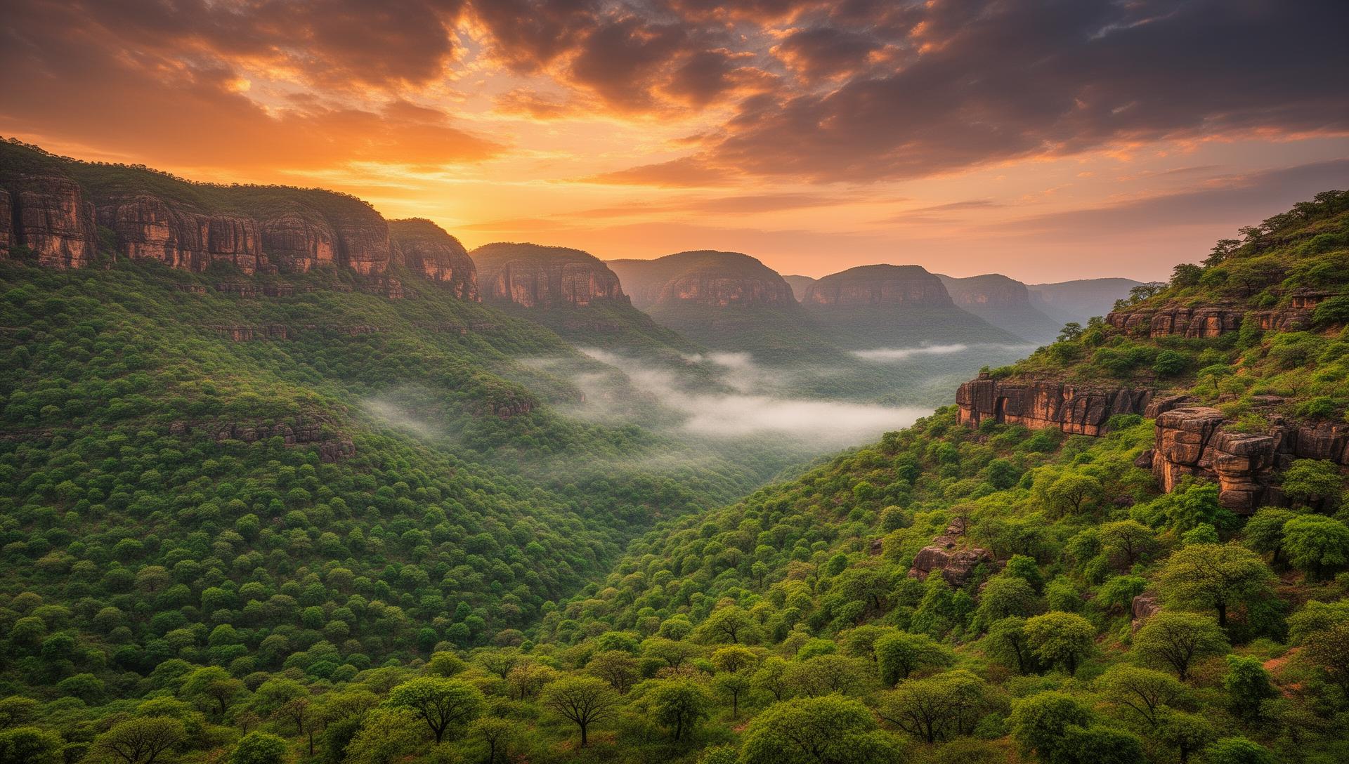
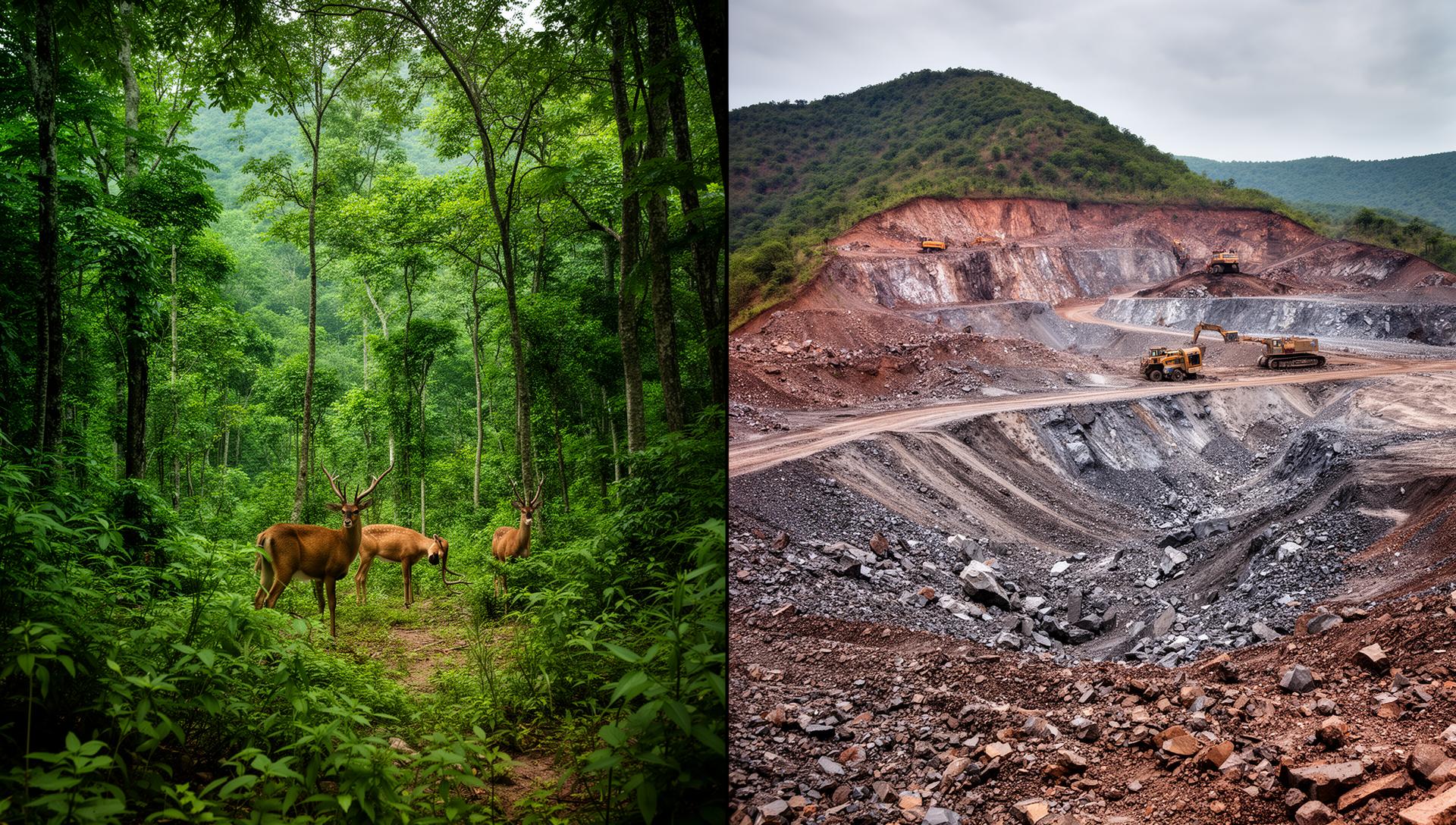
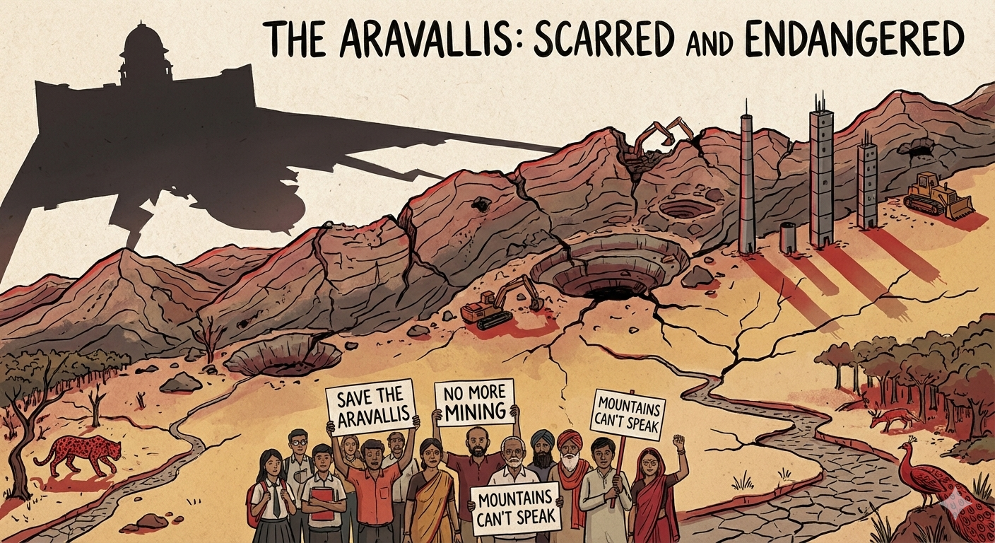
We Mapped the Destruction.
NASA satellite data exposes more than 30% risk to the Aravalis, contradicting the minister's 2% claim. "WeAreAravali" demands a 100% mining ban.
Is your village or favorite hill in the Red Zone?
Report a ThreatPresentation
View Data Sources & Government References
Forensic Data Analysis
- Type: Digital Surface Model (DSM).
- What it sees: The true "Envelope" of the terrain, including rock, scrub, and vegetation height.
- Result: 42.6% Area Lost.
- Type: Digital Terrain Model (DTM).
- What it sees: The "Bare Earth." It algorithmically removes trees/buildings to find the dirt underneath.
- Result: 31.9% Area Lost.
Sensitivity Analysis (Stress Testing)
To ensure accuracy, we compared multiple datasets. All confirm that a massive portion of the range is stripped of protection.
| Dataset | Area Lost |
|---|---|
| NASA SRTM (Standard) | 42.6% |
| Bristol FABDEM (Conservative) | 32% |
| ISRO (High-Resolution DEM) | 45% |
*Conclusion: Even under the strictest, most conservative parameters (25m height, no vegetation), nearly 1/4th of the range is abandoned. The scientifically accurate model (20m + Volumetric) identifies 42.6% loss.
Data License
This data is released under CC BY-NC-ND 4.0 (Attribution-NonCommercial-NoDerivatives).
You are free to share and embed this map for awareness. You may not download, modify, or sell the raw geospatial data without permission from WeAreAravali.org.
THIS HILL DOES NOT EXIST. It is 99 meters tall. The new definition says it must be 100 meters to be saved.
Because it is “too short,” this hill—and most of the Aravali ridges—can be treated as mineable land. We say: Nature doesn’t measure in meters.
The “100-Meter Trap”
Here is what the new Supreme Court ruling means for you:

Show Them What We Will Lose.
The government thinks these low hills are just “wasteland.” Prove them wrong. We are launching #My99Aravali. We need you to take a photo of the small, local hills near your home that are at risk.